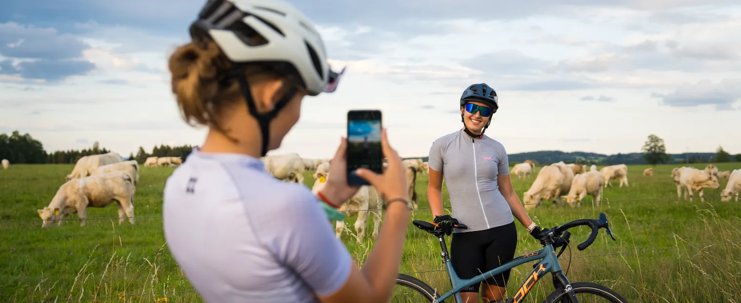
Home / Experiences / Cycling
2060 Selb - Benešův palouček - Aš rozhledna - Vernéřov - Horní Paseky - Bad Barmbach - Plesná
Take the 2060 cycle route, which takes you from Aš over the peak of Háje with its iconic lookout tower, the abandoned villages of Vernéřov and Horní Paseky to the spa town of Bad Brambach. The route ends in historic Plesná, where it connects to the Krušnohorská magistrála.
- demandingness: Light
- length: 14 km (with branches up to 30 km)
- route_surface: Mostly asphalt, sometimes rough but paved surface
- transport: Only minimal traffic
- focus: Cross and trekking bikes
The route has been marked since 2011 from Poštovní náměstí in Aš and leads along a new cycle path through Háj, and has been extended to Plesná. It originally led from the Aš-Selb border crossing. Therefore, we will begin its description in nearby Selb in Bavaria.
Selb
We start our trip on Route 2060 in historic Selb, known as the porcelain city. If you want to avoid the main road, choose the route via Mühlbach and Wildenau – it is a kilometer longer, but much quieter.
Selb, mentioned as early as 1188, was part of the Cheb region and has belonged to Bavaria since 1810. A great fire in 1856 changed its history, but a year later Lorenz Hutschenreuther founded the first porcelain factory here, which brought new prosperity to the town. Until the 1990s, it was the center of German porcelain production. In addition, south of the town, the romantic Ohře Valley awaits you - an ideal place for a short stop.
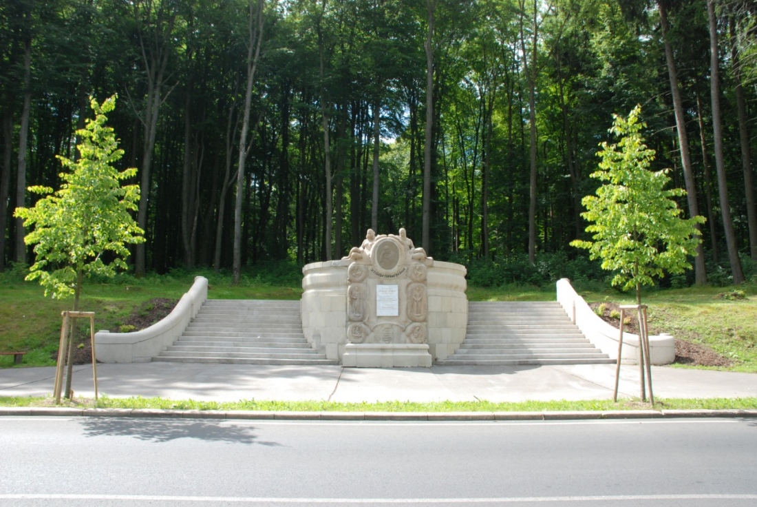
Beneš's meadow
When returning from Selb to Aš, we can choose a quieter route in Wildenau. We turn off to the main road, continue along the gravel road parallel to it, and after 700 meters, at the bridge, we turn right onto the asphalt road. This will take us through Lauterbach and Prexhäuser, where we will connect to the Grünes Dach cycle path.
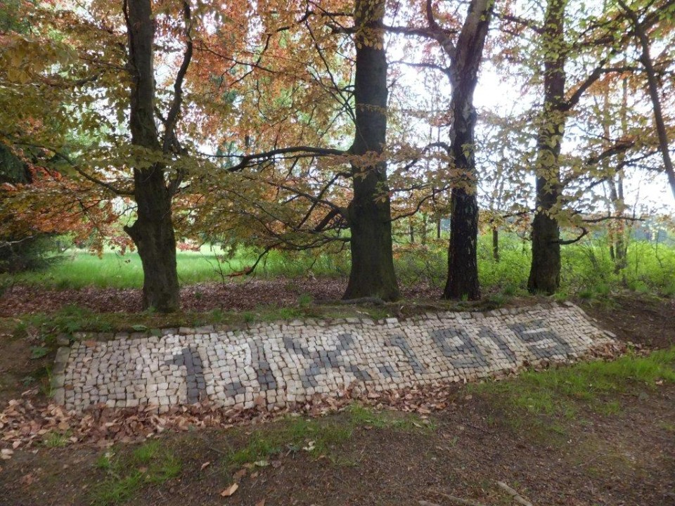
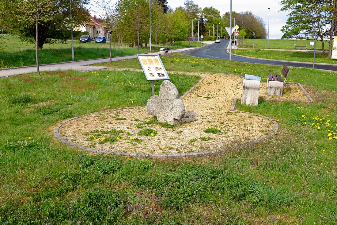
About 100 meters from the border, at the border bollard 17/15, lies Benešův palouček – the place where Edvard Beneš fled into exile with false documents in 1915. Hidden in a grove behind the border, it commemorates a key moment in Czech history. Check out the link to find out where this place is and it is an interesting stop for cycling adventurers.
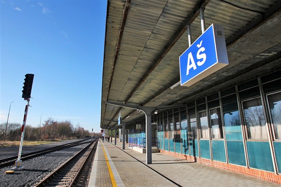
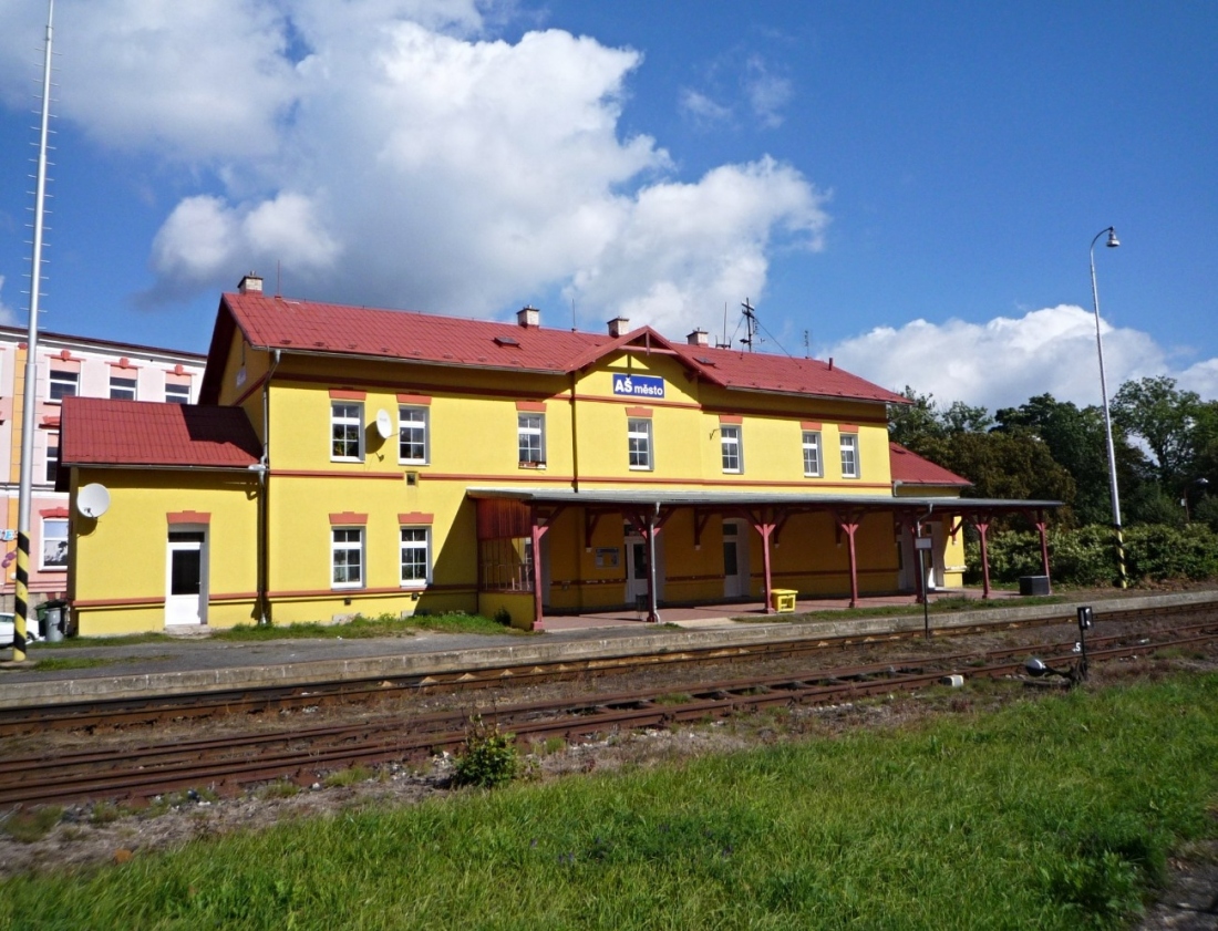
Show on mapAš – town, railway station
The small railway station in Aš was built in 1885 as part of the line to Hranice, later extended to Adorf. It served not only passengers but also local textile mills – the tracks led directly to Christian Fischer's spinning mill and Christian Geipel's factory. There was a loading ramp for coal at the station and the legendary "Hranice Kozlík" ran along this line.
We continue along Gustava Geipel Street to the center. In front of the roundabout stands the villa of this factory owner, which until recently housed the Czech Police. The Geipels were among the most important businessmen in Aš – Christian built a large weaving mill, Gustav supported the development of the city and financed public projects. You will find his monument in Okružní Street.
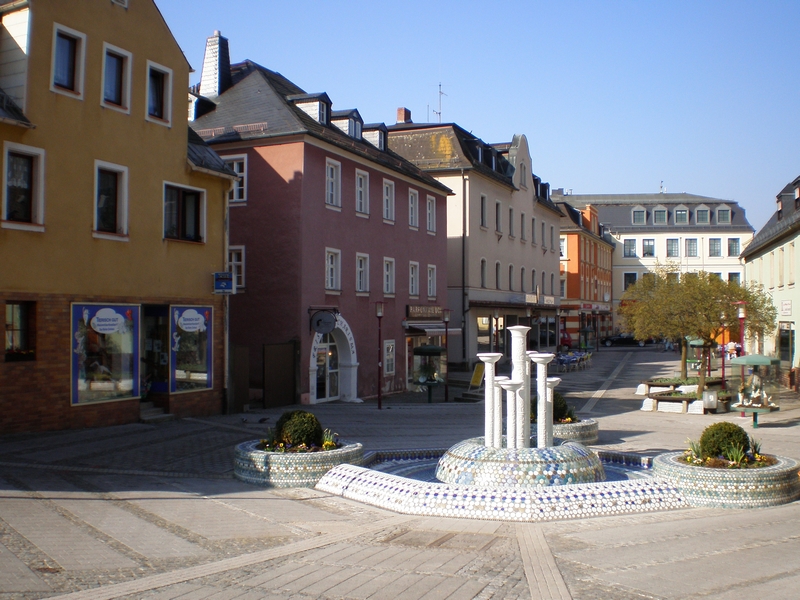
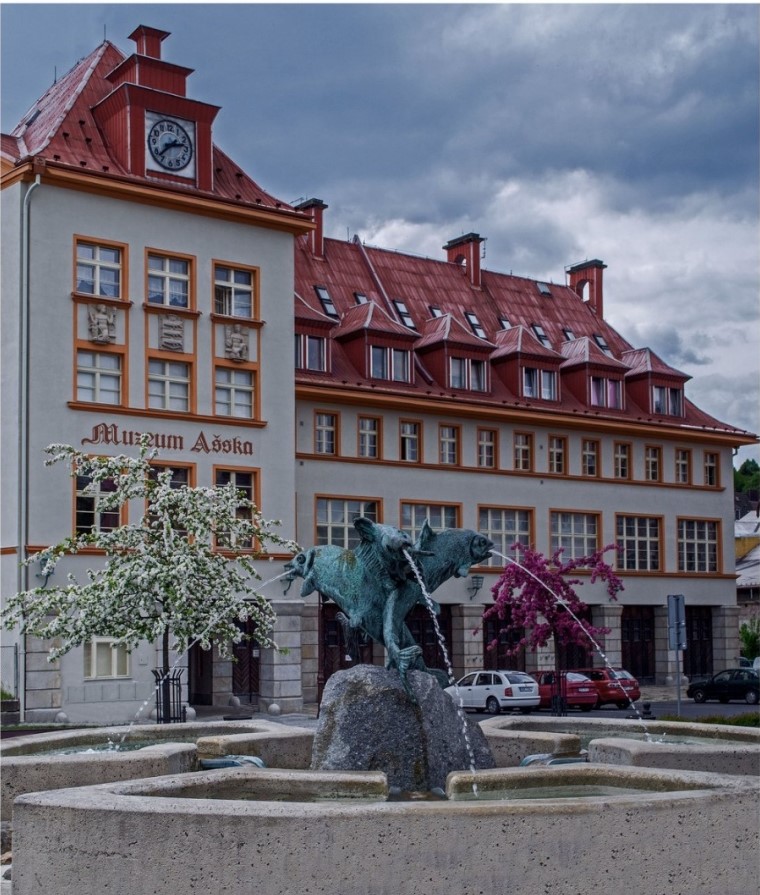
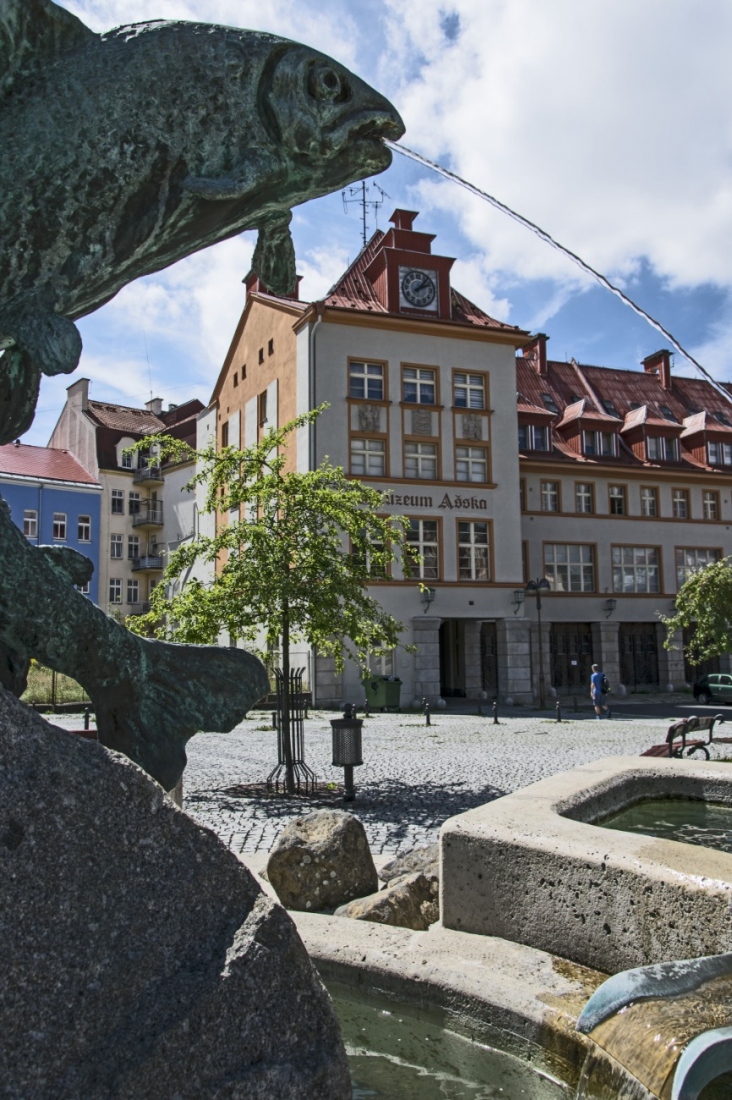
Aš, Postal Square
Our cycling route 2060 begins at Poštovní náměstí. We follow Moravská Street and then turn onto the cycle path towards Háj.
On the square stands an interesting building of the former fire station, which once served as the city library. It now houses the ethnographic museum of the Aš region. The entire space was renovated in 2010 and its dominant feature is a fountain with fish statues, the symbol of the city of Aš.
Adler Stairs
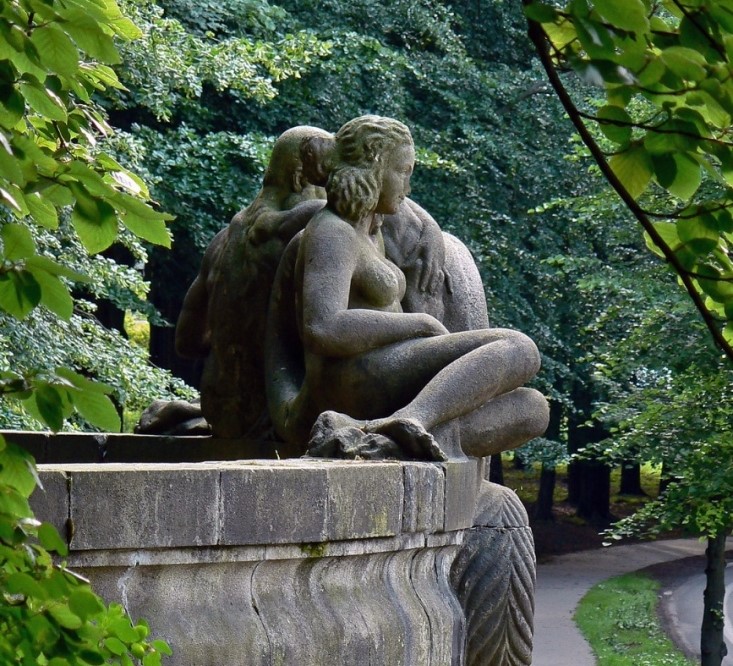
We continue along the cycle path towards the top of Háje. At the Adler Stairs, which were financed by the Aš industrialist Ernst Adler in 1909, we can turn off to other historical sites. If you dare to carry your bike up the stairs, the path will take you to the Jahn Monument, built to commemorate the 60th anniversary of the local sports association.
Further on Háj we pass the place where the monument to the poet Theodor Körner stands. Just below the peak, on the rock by the lookout tower, you will see a restored memorial plaque and a relief with the face of Friedrich Schiller, which was donated to the city by Adler. And now we are on Háj hill with the iconic lookout tower!
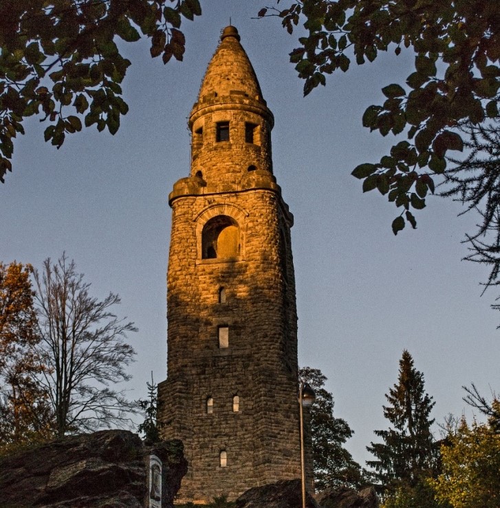
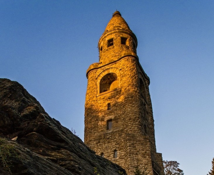
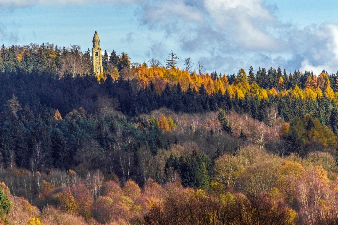
Lookout tower at Hája
The massive 34-meter-high observation tower on the highest peak of the Czech part of Smrčine (758 m) is the westernmost in the Czech Republic. Built in 1902–1904 according to the design of Wilhelm Kreis, it originally bore the name of the Reich Chancellor Bismarck.
After climbing 122 steps, you will have a view of the Ore Mountains, Doupov, Bohemian Forest, Slavkov Forest and the German Schneeberg. The lookout tower is an icon of the Aš region – anyone who hasn't been to Hája has never been to Aš!
Vernéřov
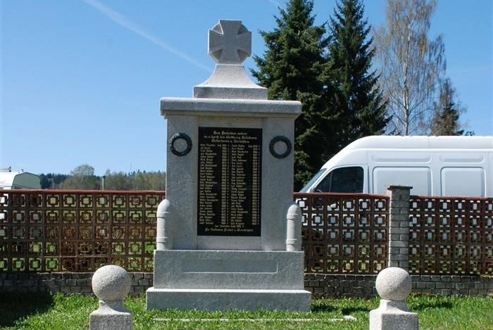
At the end of the 19th century, around a thousand people lived here, but after the war the village almost disappeared and today only a few houses remain. However, you can still find a monument to the fallen from World War I, Peter's Well and the former inn "Zur Schimmel", which survived all regimes.
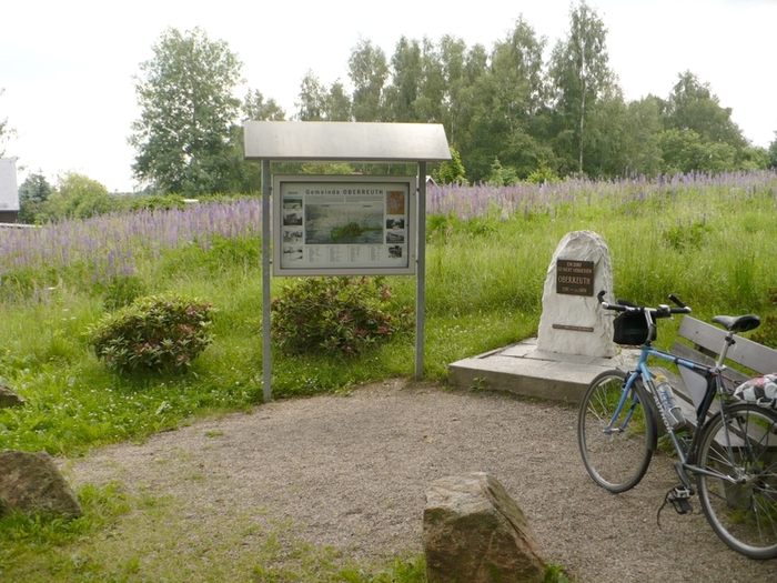
At the crossroads above Vernéřov there is an information board about Horní Paseky. From there you can take a short detour to visit the Vernéřovské doly mines – today there are only heaps and a closed entrance to the adit.
Upper Paseky
Previously, there was a village here, then a border guard, and finally a Russian garrison. After their departure in the 1990s, the place came to life again. Today, Horní Paseky is the highest village in the Aš region (680 m above sea level). At the crossroads, cycle route 2062 connects here, which leads past the Halštrov spring to Výhledů.
Guard
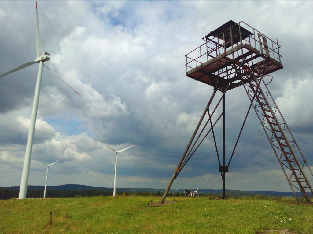
From Horní Paske you can turn to the peak of Stráž (717 m above sea level), from where a magnificent panoramic view opens up. At the top stands an old iron tower of the Border Guard. The entrance is dangerous!
Bad Brambach
A small spa town known for its radon and iron springs, which treat movement and circulatory problems. The spa tradition dates back to 1912 and the local mineral water Brambacher Sprudel is still distributed throughout Germany. Together with Jáchymov, it is the only radon spa in Europe.
Mold
Today's Plesná, formerly Fleissen, has roots dating back to the first Slavic settlements. In the 14th century, it was acquired by Charles IV, making it part of the Kingdom of Bohemia. An industrial boom came with the railway, which connected the town with Cheb and Bad Brambach.
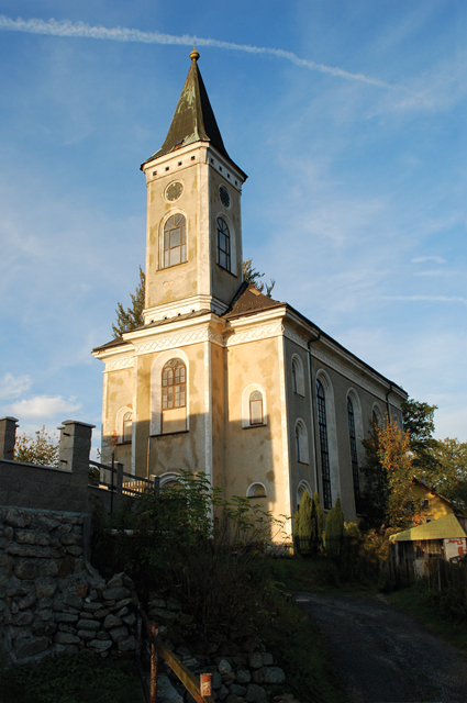
The dominant features of the town are the Evangelical and Catholic churches, the reconciliation crosses from 1490 and the former Jewish cemetery. The cycle route ends here and connects to the Krušnohorská magistrála (no. 36), which will take you to Luba, Kraslice or Ohře.