1#
Trojmezí
Where Three States Meet and Divide East and West
Trojmezí, also known as Trojstátí, is a unique place where three states converge – the Czech Republic, Bavaria, and Saxony. This magical place is an important symbol of historical borders and simultaneously connects Eastern and Western cultures. Prepare for an adventure and explore this fascinating location.
History and Culture:
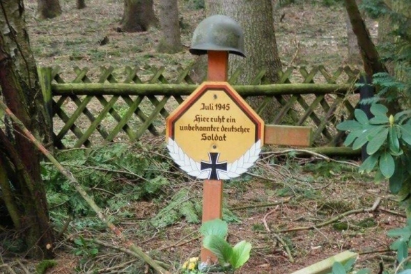
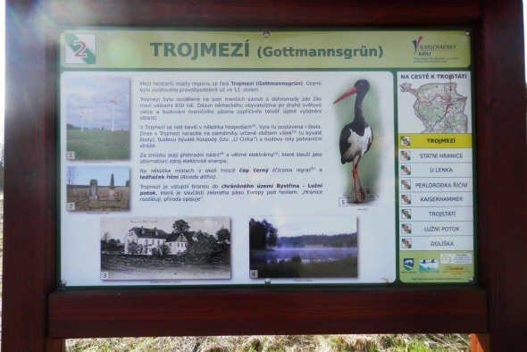
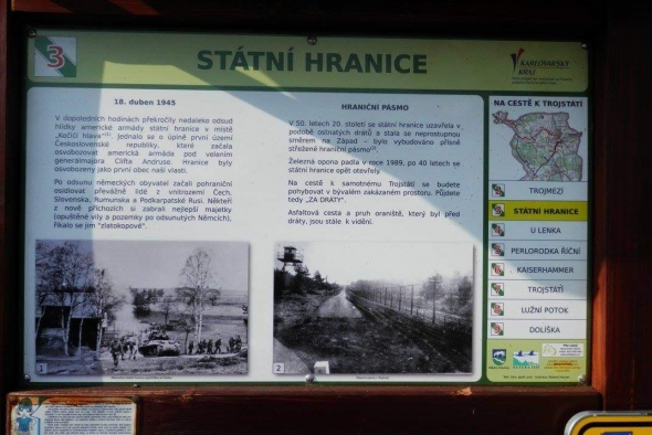
Trojmezí has a rich history, and its original name "Gottmannsgrün" still resonates in the memories of the local inhabitants. It was the first settlement in the Hranicko region, and today, around 30 people call it home. The place is filled with historical landmarks, including the former border guard garrison, memorials dedicated to fallen soldiers, and remnants of structures from the Sudeten period.
Natural Beauty:
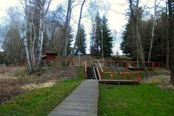
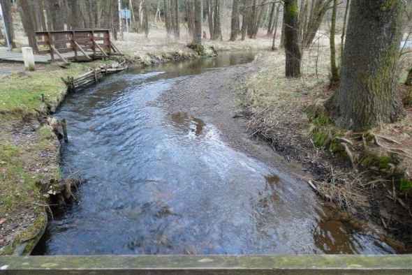
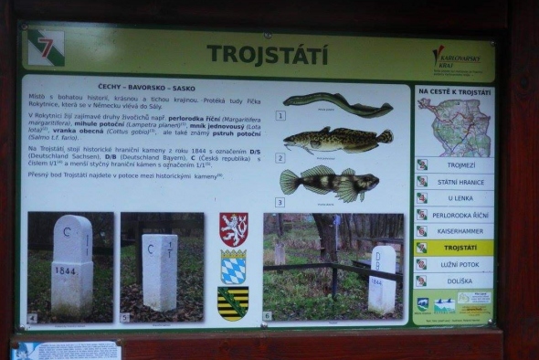
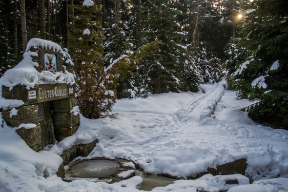
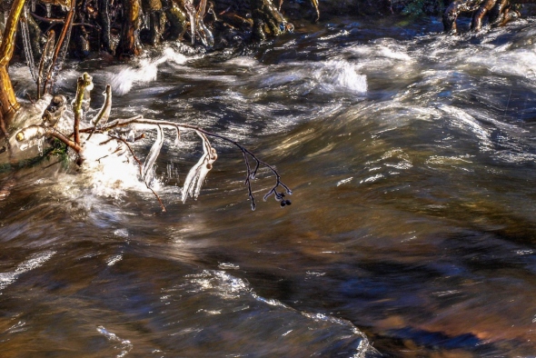
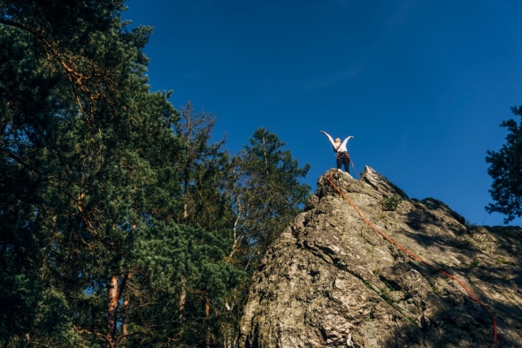
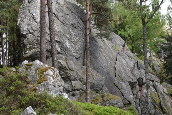
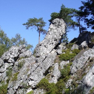
Trojmezí is situated in the beautiful landscape of the protected area Bystřina – Lužní potok. Here, you'll find a reservoir that is home to river crabs, kingfishers, and pond newts. It's a paradise for nature enthusiasts. The path to Trojstátí is lined with majestic trees and offers beautiful views of the landscape.
References to the Past:
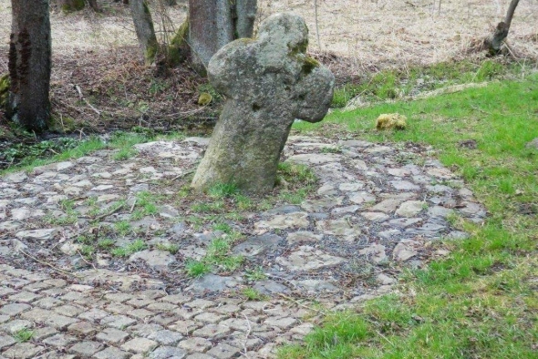
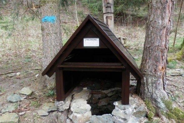
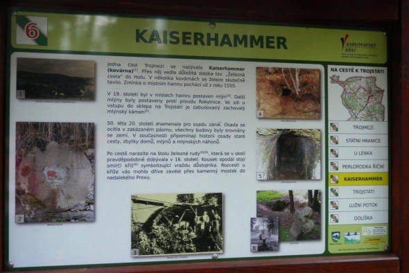
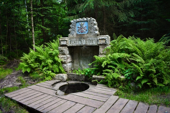
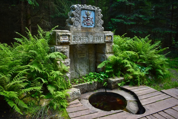
During your walk to Trojstátí, you will come across remnants of mill canals, mills, and hideouts of the border guards from the totalitarian era. A millstone is embedded in a local wall, serving as a reminder of the miller's guild. A peace cross and an iron ore mine tunnel are additional historical remnants to discover during your journey.
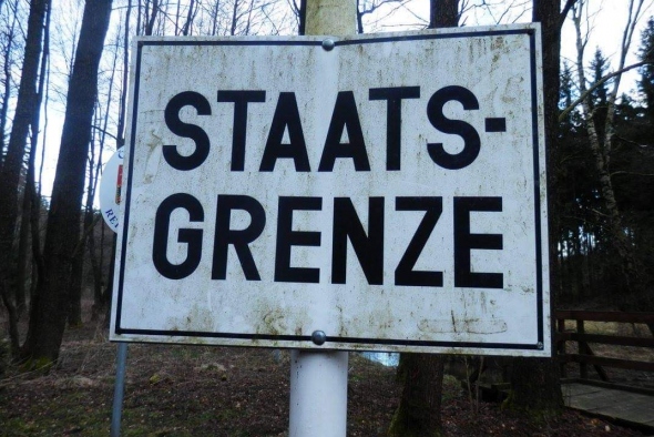
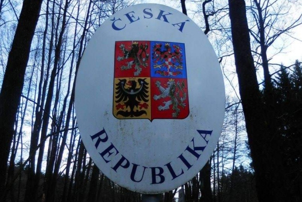
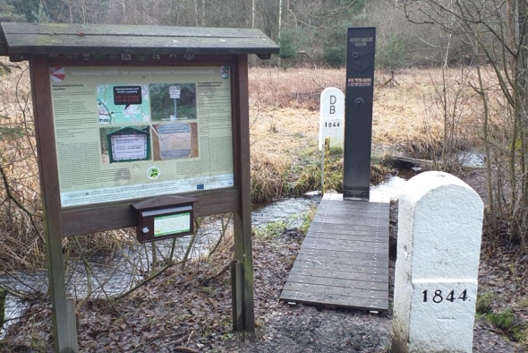
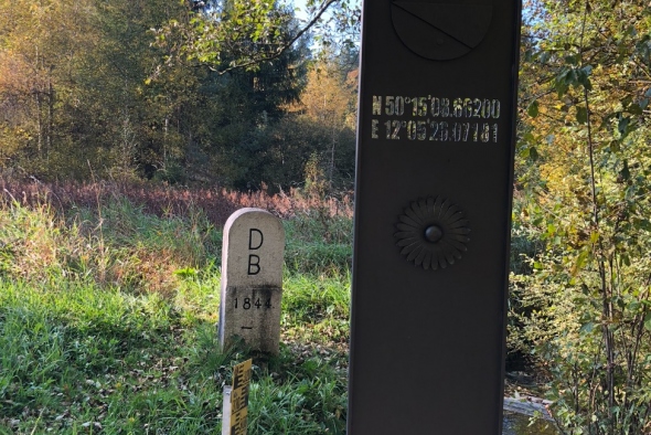
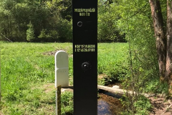
Trojstátí:
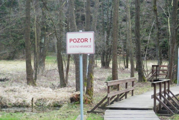
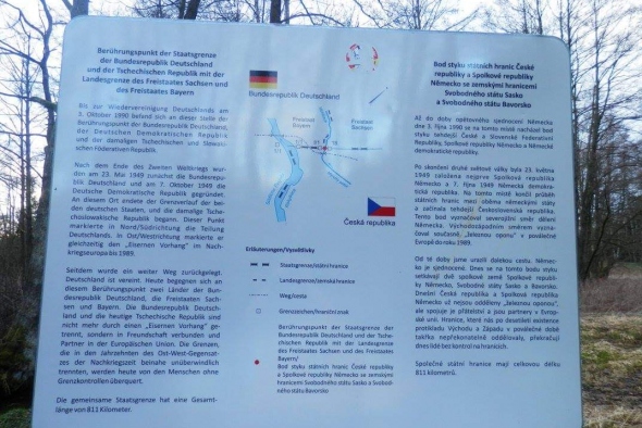
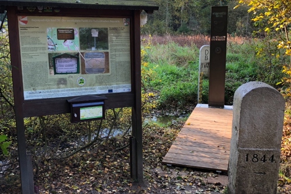
The actual point of Trojstátí is not marked, as it lies in a streambed between historical boundary stones. However, the boundary stones from 1844, marked with DB (Deutschland Bayern), DS (Deutschland Sachsen), and C (Czech Republic), clearly indicate where these three states converge. This place is an important symbol of unity and historical division.
Getting There:
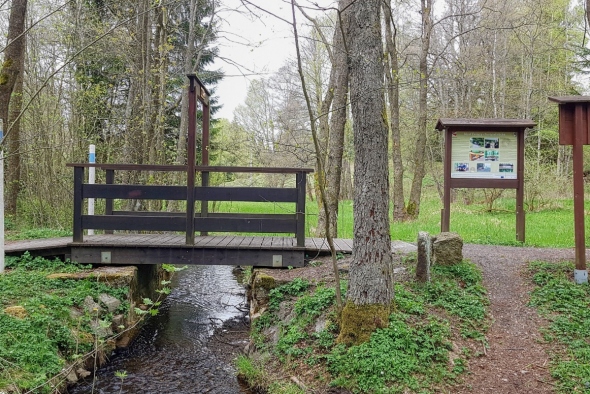
Trojstátí is accessible via cycling route No. 2058, the red hiking trail, or an educational path. The route takes you through untouched landscapes and offers unique insights into the historical and natural treasures of this region.
Come and discover Trojmezí/Trojstátí, where three states meet, and history breathes in every stone. This place will enchant you with its uniqueness and beauty.
 mapa
mapa

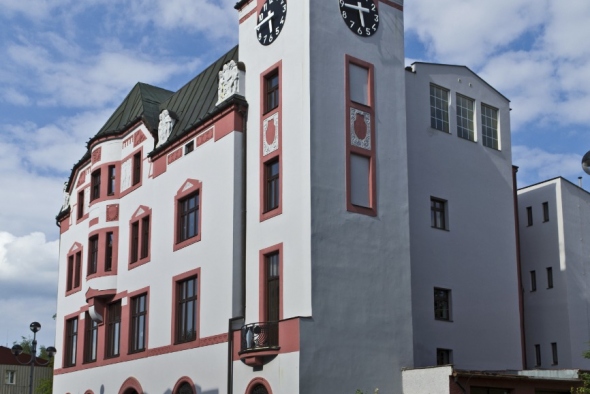
 Infocentrum:
9:00 - 12:00 12:30 - 17:00
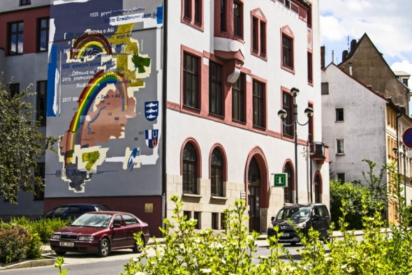
Infocentrum:
9:00 - 12:00 12:30 - 17:00


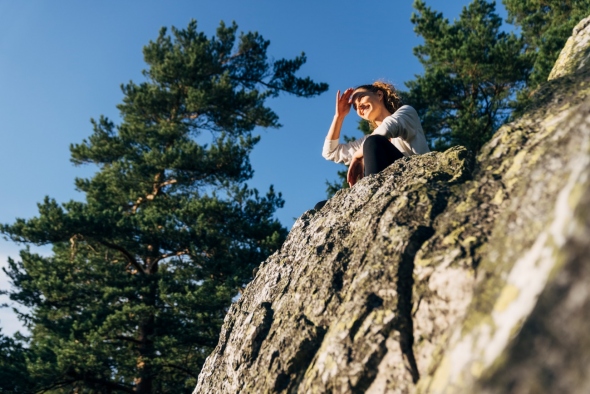
 Start discovering